 Ridgeflow
Mangapurua/Kaiwhakauka Track
Manawatū-Whanganui · New Zealand
Distance50.2 km (31.2 mi)all 2 sections
Climb2,141 m (7,024 ft)1,975 m (6,480 ft) down
High point617 m (2,024 ft)lowest 66 m (217 ft)
DOC's time2 - 3 daysas DOC publishes it
GradeAdvancedDOC
This track is mapped in 2 separate sections, so there is no single profile or walking time. Climb is added up section by section.
Map
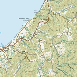
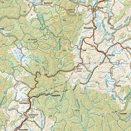
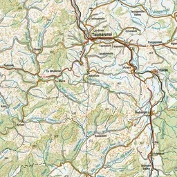
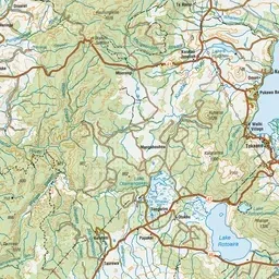
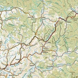
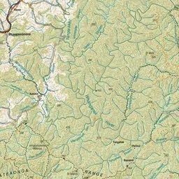
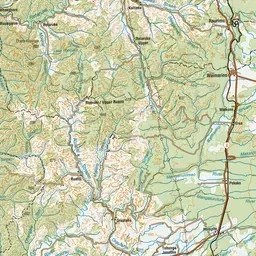
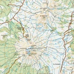
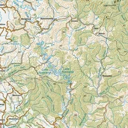
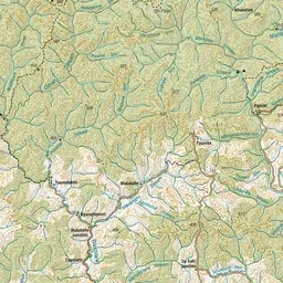
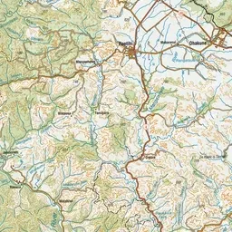
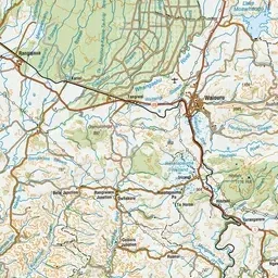
Pink: the track. Blue: campsites.
About the track
The Mangapurua and Kaiwhakauka Tracks are two stages of the Mountains to Sea Cycle Trail. There are various entry/exit options. This track is part of Te Araroa Trail.
Campsites
- Mosley's Campsite (247 m)
- Bettjemann Campsite (187 m)
- Hellawell's Campsite (131 m)
- Whakahoro Campsite (131 m)
- Johnsons Campsite (239 m)
- Mangapurua Campsite (63 m)
- Mangapurua Trig Campsite (611 m)
Mangapurua/Kaiwhakauka Track on DOC's website, for track alerts, bookings and closures.