 Ridgeflow
Mangaweka Scenic Reserve Track
Manawatū-Whanganui · New Zealand
Distance1.7 km (1 mi)along the line
Climb98 m (322 ft)97 m (318 ft) down
High point434 m (1,424 ft)lowest 346 m (1,135 ft)
DOC's time1 hras DOC publishes it
Walking time35 minone way, moving, our estimate
GradeEasyDOC
Elevation profile
Map
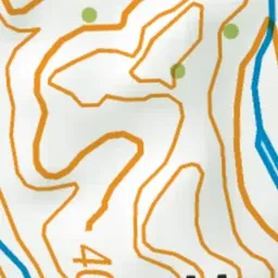
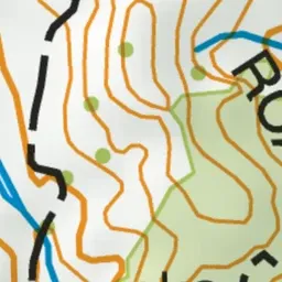
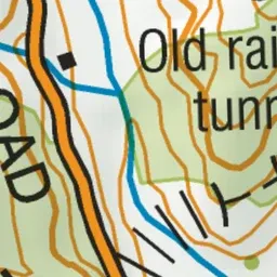
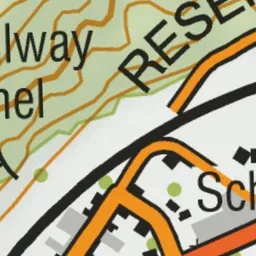

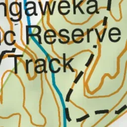
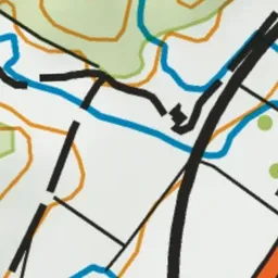
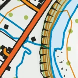
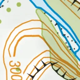
Pink: the track.
About the track
Enjoy great views over the Rangitikei River terraces on this short loop walk.
Mangaweka Scenic Reserve Track on DOC's website, for track alerts, bookings and closures.