 Ridgeflow
Mangleton Road to Parks Peak Ridge
Hawke's Bay · New Zealand
Distance7.6 km (4.7 mi)all 2 sections
Climb893 m (2,930 ft)779 m (2,556 ft) down
High point1,344 m (4,409 ft)lowest 611 m (2,005 ft)
DOC's time1-2 daysas DOC publishes it
GradeAdvancedDOC
This track is mapped in 2 separate sections, so there is no single profile or walking time. Climb is added up section by section.
Map
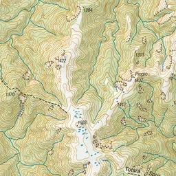
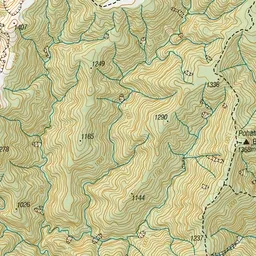
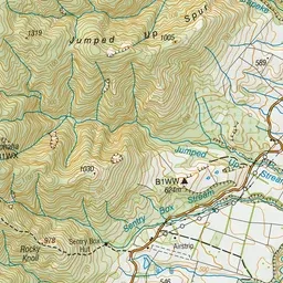
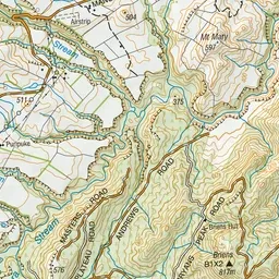
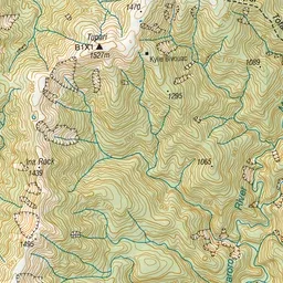
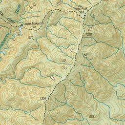
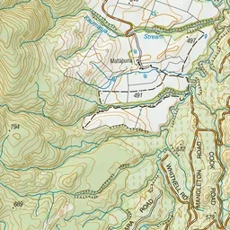
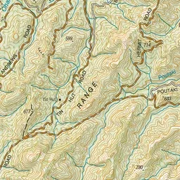
Pink: the track. Orange: huts.
About the track
It’s a 2-3 hour walk from Mangleton Road to Parks Peak Ridge. The track links to Ruahine Range and Golden Crown Ridge to the north and Parks Peak and Upper Makaroro huts to the south.
Huts on or near the track
- Parks Peak Hut (1327 m)
- Sentry Box Hut (Historic) (607 m)
- Upper Makaroro Hut (756 m)
Mangleton Road to Parks Peak Ridge on DOC's website, for track alerts, bookings and closures.