 Ridgeflow
Māori Saddle Route
West Coast · New Zealand
Distance1.9 km (1.2 mi)along the line
Climb30 m (98 ft)608 m (1,995 ft) down
High point1,243 m (4,078 ft)lowest 646 m (2,119 ft)
DOC's time9 hrs one way from SH6as DOC publishes it
Walking time52 minone way, moving, our estimate
GradeExpertDOC
Elevation profile
Map
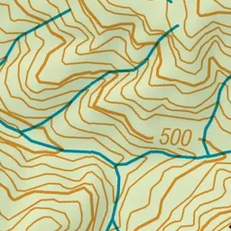
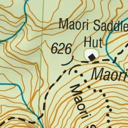
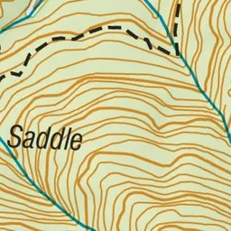
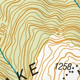
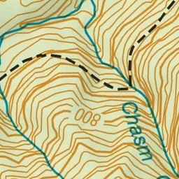
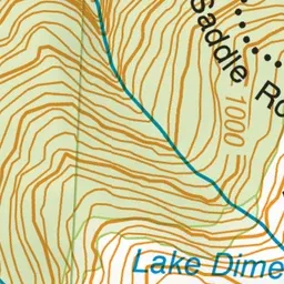
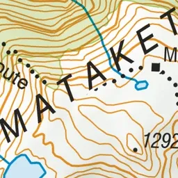
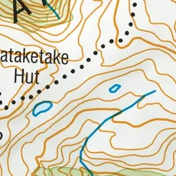
Pink: the track. Green dot: the start. Orange: huts.
About the track
The Māori Saddle Route takes you from the Historic Haast to Paringa Track to Mataketake Hut.
Huts on or near the track
- Mataketake Hut (1224 m, bookable)
- Maori Saddle Hut (617 m)
Māori Saddle Route on DOC's website, for track alerts, bookings and closures.