 Ridgeflow
Maratoto - Golden Cross Track
Waikato · New Zealand
Distance3.5 km (2.2 mi)along the line
Climb344 m (1,129 ft)20 m (66 ft) down
High point466 m (1,529 ft)lowest 117 m (384 ft)
DOC's time1 hr 45 minas DOC publishes it
Walking time1 h 27 minone way, moving, our estimate
GradeAdvancedDOC
Elevation profile
Map
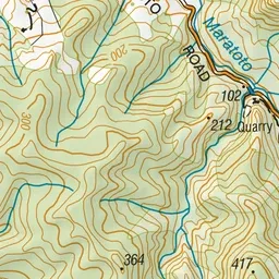
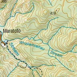
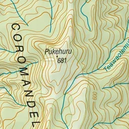
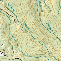
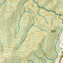
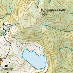
Pink: the track.
About the track
The track from Maratoto to Golden Cross takes you past an old mining area and a regenerating broadleaf/hardwood forest.
Maratoto - Golden Cross Track on DOC's website, for track alerts, bookings and closures.