 Ridgeflow
Maratoto: Wires Track
Waikato · New Zealand
Distance4.9 km (3.1 mi)along the line
Climb424 m (1,391 ft)54 m (177 ft) down
High point452 m (1,483 ft)lowest 75 m (246 ft)
DOC's time3 hr one wayas DOC publishes it
Walking time1 h 56 minone way, moving, our estimate
GradeAdvancedDOC
Elevation profile
Map
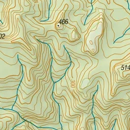
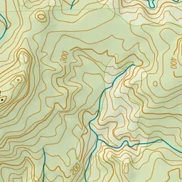
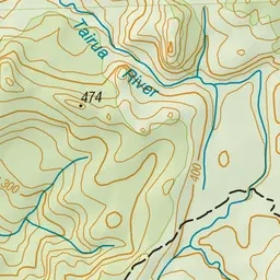
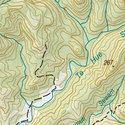
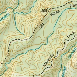
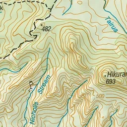
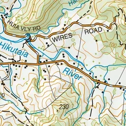
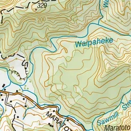
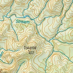
Pink: the track.
About the track
This well marked track gives lovely views across Maratoto and you can see remnants of the old telephone line.
Maratoto: Wires Track on DOC's website, for track alerts, bookings and closures.