 Ridgeflow
Marker Bay Track
Canterbury · New Zealand
Distance0.6 km (0.4 mi)along the line
Climb14 m (46 ft)11 m (36 ft) down
High point542 m (1,778 ft)lowest 528 m (1,732 ft)
DOC's time20 min returnas DOC publishes it
Walking time10 minone way, moving, our estimate
GradeEasiestDOC
Elevation profile
Map

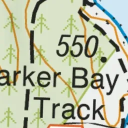


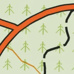
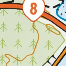
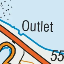

Pink: the track. Green dot: the start.
About the track
An easy walk for families through pine trees and the area where the Lake Pukaki village once stood.
Marker Bay Track on DOC's website, for track alerts, bookings and closures.