 Ridgeflow
Maruia Falls Track
Tasman · New Zealand
Distance0.1 km (0.1 mi)along the line
Climb0 m (0 ft)9 m (30 ft) down
High point172 m (564 ft)lowest 163 m (535 ft)
DOC's time10 min returnas DOC publishes it
Walking time2 minone way, moving, our estimate
GradeEasiestDOC
Elevation profile
Map
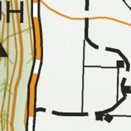
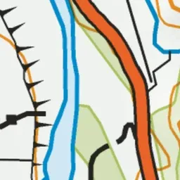
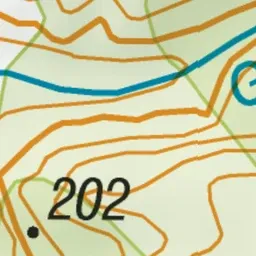
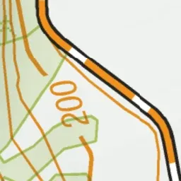
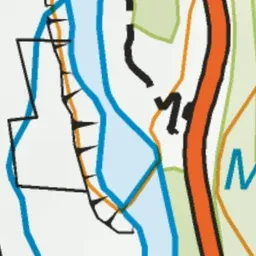
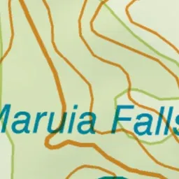


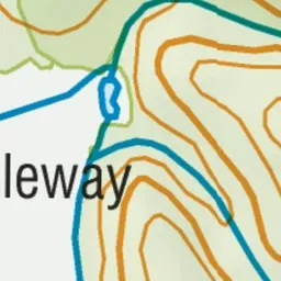
Pink: the track. Green dot: the start.
About the track
Walk to a waterfall created following the 1929 Murchison earthquake. It's not safe to swim here.
Maruia Falls Track on DOC's website, for track alerts, bookings and closures.