 Ridgeflow
Masters Shelter to Golden Crown Ridge
Hawke's Bay · New Zealand
Distance4 km (2.5 mi)along the line
Climb847 m (2,779 ft)13 m (43 ft) down
High point1,304 m (4,278 ft)lowest 471 m (1,545 ft)
DOC's time2 - 3 hr one wayas DOC publishes it
Walking time2 h 25 minone way, moving, our estimate
GradeAdvancedDOC
Elevation profile
Map
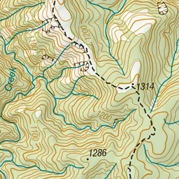
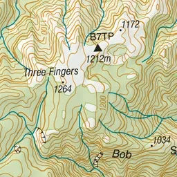
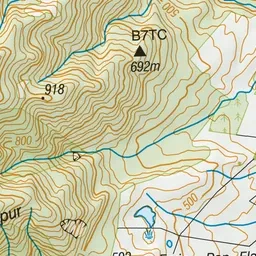
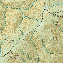
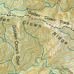
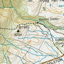
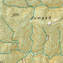
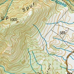
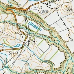
Pink: the track. Green dot: the start.
About the track
The Golden Crown Ridge Track begins behind Masters Shelter. The 2-3 hour walk climbs around a series of rocky knolls before continuing steeply upwards through beech forest to the top of the range.
Masters Shelter to Golden Crown Ridge on DOC's website, for track alerts, bookings and closures.