 Ridgeflow
Matamataharakeke Track
Waikato · New Zealand
Distance6.4 km (4 mi)along the line
Climb309 m (1,014 ft)309 m (1,014 ft) down
High point301 m (988 ft)lowest 19 m (62 ft)
DOC's time3 hras DOC publishes it
Walking time2 h 7 minone way, moving, our estimate
GradeAdvancedDOC
Elevation profile
Map
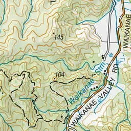
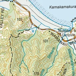
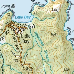
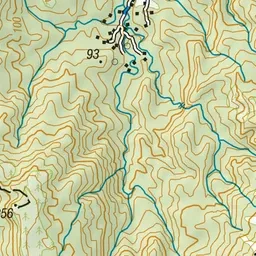
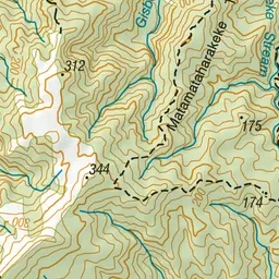
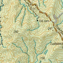
Pink: the track. Green dot: the start.
About the track
Part of the original Waikawau to Kennedy Bay route used by gold miners and loggers. It goes up the main ridge past a series of lookouts giving views over bush covered hills to coast and islands.
Matamataharakeke Track on DOC's website, for track alerts, bookings and closures.