 Ridgeflow
Matarangi Bluff Track
Waikato · New Zealand
Distance1.3 km (0.8 mi)along the line
Climb118 m (387 ft)47 m (154 ft) down
High point81 m (266 ft)lowest 11 m (36 ft)
DOC's time20 min – 45 minas DOC publishes it
Walking time31 minone way, moving, our estimate
GradeEasiestDOC
Elevation profile
Map

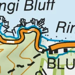
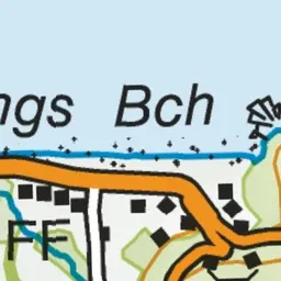
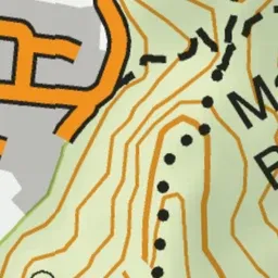
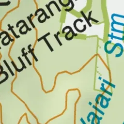
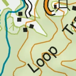
Pink: the track.
About the track
This popular short walk connects Matarangi and Rings Beach. It provides spectacular views over Matarangi, Kūaotunu and the Coromandel Peninsula.
Matarangi Bluff Track on DOC's website, for track alerts, bookings and closures.