 Ridgeflow
Matauria Ridge Track (Makahu Saddle to Mackintosh Track Junction)
Hawke's Bay · New Zealand
Distance5 km (3.1 mi)along the line
Climb496 m (1,627 ft)420 m (1,378 ft) down
High point1,041 m (3,415 ft)lowest 610 m (2,001 ft)
Walking time2 h 5 minone way, moving, our estimate
GradeAdvancedDOC
Elevation profile
Map
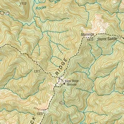
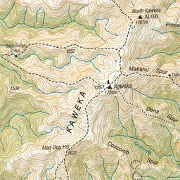
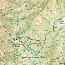
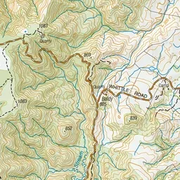
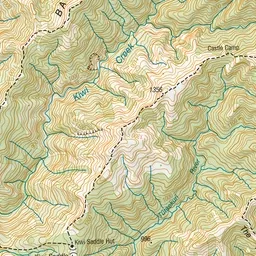
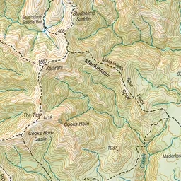
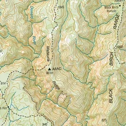
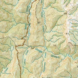
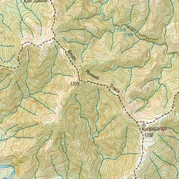
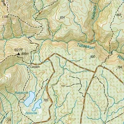
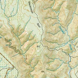
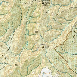
Pink: the track. Green dot: the start.
About the track
This track connects Makahu Saddle with Mackintosh Track Junction, via Matauria Ridge
Matauria Ridge Track (Makahu Saddle to Mackintosh Track Junction) on DOC's website, for track alerts, bookings and closures.