 Ridgeflow
Matemateāonga Track
Manawatū-Whanganui · New Zealand
Distance35.7 km (22.2 mi)all 3 sections
Climb1,437 m (4,715 ft)1,568 m (5,144 ft) down
High point721 m (2,365 ft)lowest 45 m (148 ft)
DOC's time3 - 5 daysas DOC publishes it
GradeAdvancedDOC
This track is mapped in 3 separate sections, so there is no single profile or walking time. Climb is added up section by section.
Map
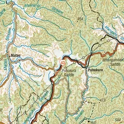
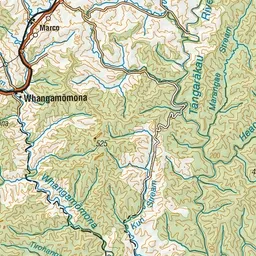
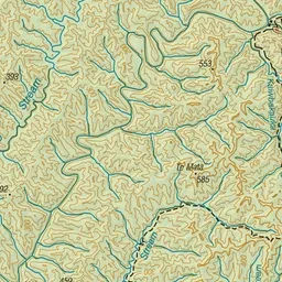
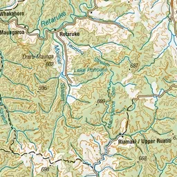
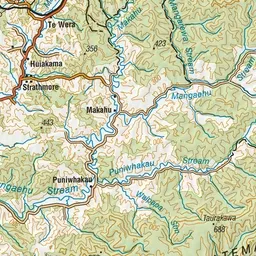
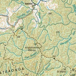
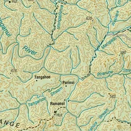
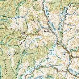
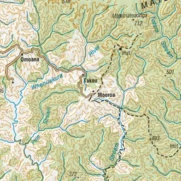
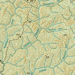
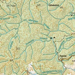
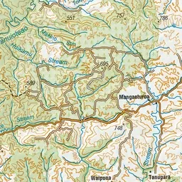
Pink: the track. Orange: huts. Blue: campsites.
About the track
Walk deep into the wilderness of the Whanganui National Park on old Māori trail and settlers’ dray road. Shorter day and overnight opportunities are also available.
Huts on or near the track
- Pouri Hut (676 m)
- Omaru Hut (333 m)
- Ngapurua Hut (623 m)
- Puketotara Hut (451 m)
- Tīeke Marae/kāinga (50 m, bookable)
Campsites
- Tīeke Marae/kāinga Campsite (46 m)
Matemateāonga Track on DOC's website, for track alerts, bookings and closures.