 Ridgeflow
Maukaatua Route
Otago · New Zealand
Distance2 km (1.2 mi)along the line
Climb0 m (0 ft)567 m (1,860 ft) down
High point667 m (2,188 ft)lowest 99 m (325 ft)
DOC's time1.5 hr one wayas DOC publishes it
Walking time48 minone way, moving, our estimate
GradeExpertDOC
Elevation profile
Map
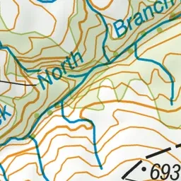
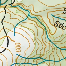
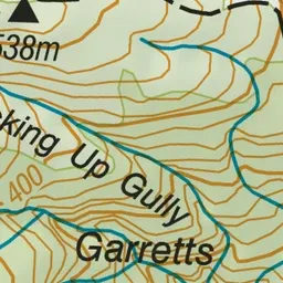
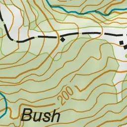
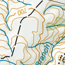
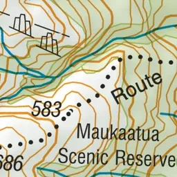
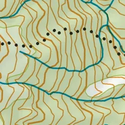
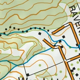
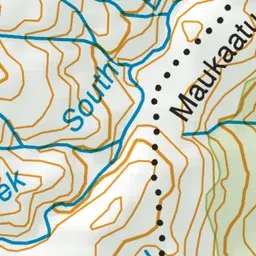
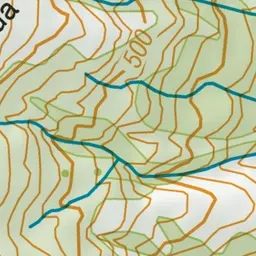
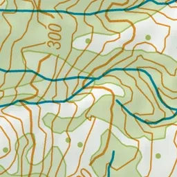
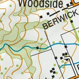
Pink: the track. Green dot: the start.
About the track
A place of significance to Ngāi Tahu, Maukaatua gazes over the Taieri plains to the coast and inland over rolling tussock-covered hills.
Maukaatua Route on DOC's website, for track alerts, bookings and closures.