 Ridgeflow
Maunganui Bluff Track
Northland · New Zealand
Distance8.1 km (5 mi)along the line
Climb596 m (1,955 ft)610 m (2,001 ft) down
High point446 m (1,463 ft)lowest 12 m (39 ft)
DOC's time1 hr 30 min to Maunganui Bluff | 5 hr to Waikara Bas DOC publishes it
Walking time3 h 1 minone way, moving, our estimate
GradeEasy, AdvancedDOC
Elevation profile
Map
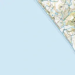
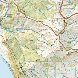
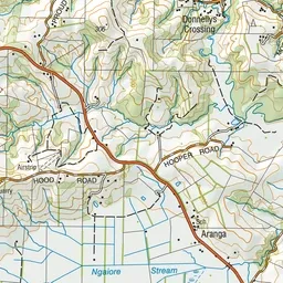

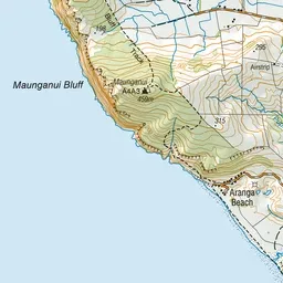
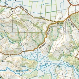
Pink: the track. Green dot: the start.
About the track
Climb up and over an ancient volcanic crater for some of the best views in the region - pass through some pristine coastal vegetation dominated by Pohutukawa.
Maunganui Bluff Track on DOC's website, for track alerts, bookings and closures.