 Ridgeflow
Mavora - Greenstone Walkway
Southland · New Zealand
Distance33.6 km (20.9 mi)along the line
Climb636 m (2,087 ft)949 m (3,114 ft) down
High point783 m (2,569 ft)lowest 326 m (1,070 ft)
DOC's time4 daysas DOC publishes it
Walking time9 h 28 minone way, moving, our estimate
GradeAdvancedDOC
Elevation profile
Map
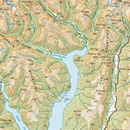
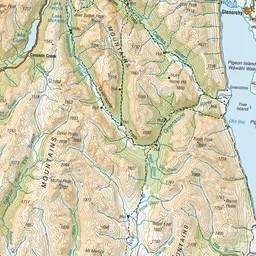
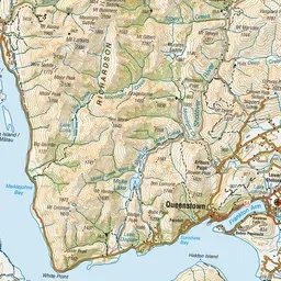
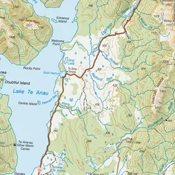
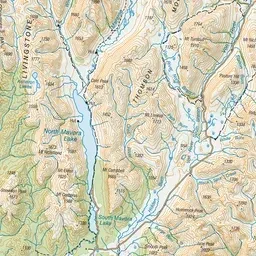
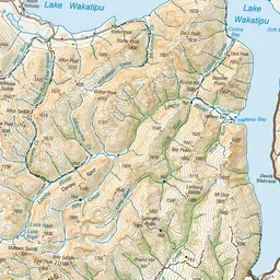
Pink: the track. Green dot: the start. Orange: huts. Blue: campsites.
About the track
This is a 50 km, four day hiking trip, linking the Mavora Lakes Camping Area with the Greenstone Track. It passes through open valley tussock land and beech forested hill country. This track is part of Te Araroa Trail.
Huts on or near the track
- Greenstone Hut (555 m, bookable)
- Boundary Hut (639 m)
- Slip Flat Hut (460 m)
- Taipo Hut (719 m)
Campsites
- Greenstone Campsite (527 m)
Mavora - Greenstone Walkway on DOC's website, for track alerts, bookings and closures.