 Ridgeflow
McKerrow Track
Wellington · New Zealand
Distance6.9 km (4.3 mi)along the line
Climb251 m (823 ft)627 m (2,057 ft) down
High point699 m (2,293 ft)lowest 167 m (548 ft)
DOC's time6 hr returnas DOC publishes it
Walking time2 h 9 minone way, moving, our estimate
GradeAdvancedDOC
Elevation profile
Map
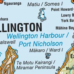
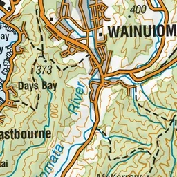
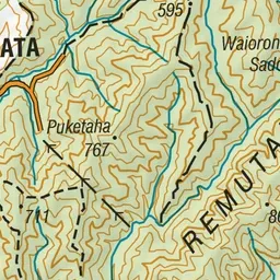
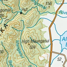
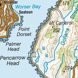
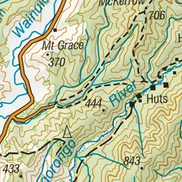
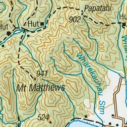
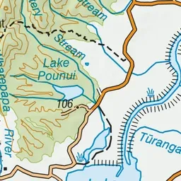
Pink: the track.
About the track
Get panoramic views of Wainuiomata and the Hutt Valley as you climb to the top of Mt McKerrow.
McKerrow Track on DOC's website, for track alerts, bookings and closures.