 Ridgeflow
Mikonui Catchment - Dickie Ridge/Upper Tuke River Route
West Coast · New Zealand
Distance13.7 km (8.5 mi)along the line
Climb1,567 m (5,141 ft)681 m (2,234 ft) down
High point1,319 m (4,327 ft)lowest 121 m (397 ft)
DOC's time2-3 daysas DOC publishes it
Walking time6 h 2 minone way, moving, our estimate
GradeAdvanced, ExpertDOC
Elevation profile
Map
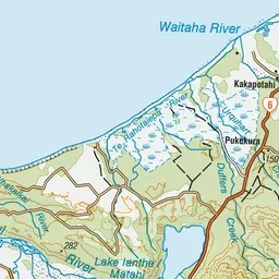
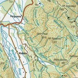
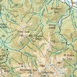
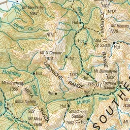
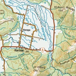
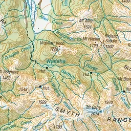
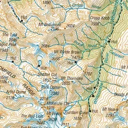
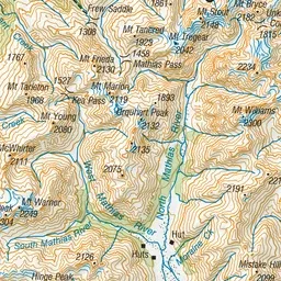
Pink: the track. Green dot: the start. Orange: huts.
About the track
The Dickie Ridge/Tuke River Route provides a link to challenging alpine hiking opportunities and gives access to the Waitaha and Whitcombe catchments.
Huts on or near the track
- Top Tuke Hut (1005 m)
- Mikonui Flat Hut (147 m)
Mikonui Catchment - Dickie Ridge/Upper Tuke River Route on DOC's website, for track alerts, bookings and closures.