 Ridgeflow
Minaret Burn Track
Otago · New Zealand
Distance21.9 km (13.6 mi)along the line
Climb881 m (2,890 ft)539 m (1,768 ft) down
High point672 m (2,205 ft)lowest 279 m (915 ft)
Walking time6 h 57 minone way, moving, our estimate
GradeAdvancedDOC
Elevation profile
Map
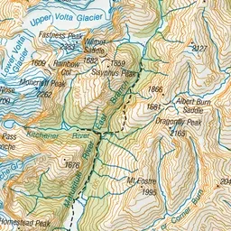
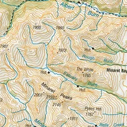
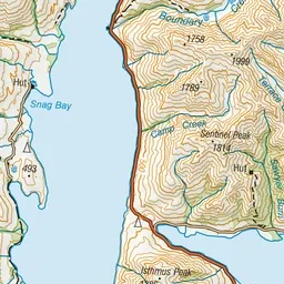
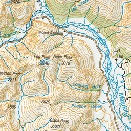
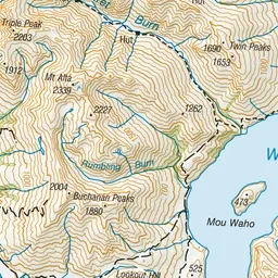
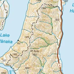
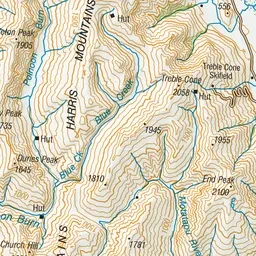
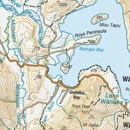
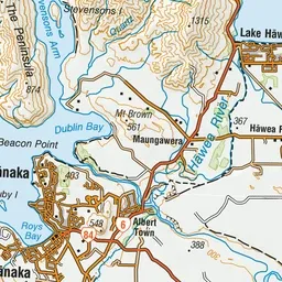
Pink: the track. Green dot: the start.
About the track
This walk passes through native forest and bush, crossing burns (streams) and giving access to Lake Wānaka itself. This track is suitable for walking, mountain biking and horse riding.
Minaret Burn Track on DOC's website, for track alerts, bookings and closures.