 Ridgeflow
Minchin Pass Route
Canterbury · New Zealand
Distance42 km (26.1 mi)along the line
Climb1,048 m (3,438 ft)1,157 m (3,796 ft) down
High point1,104 m (3,622 ft)lowest 400 m (1,312 ft)
DOC's time3 - 4 daysas DOC publishes it
Walking time12 h 14 minone way, moving, our estimate
GradeExpertDOC
Elevation profile
Map
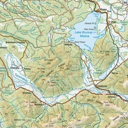
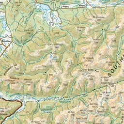
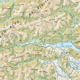
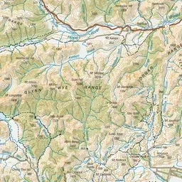
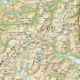
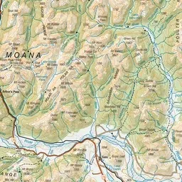
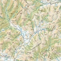
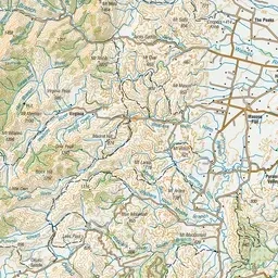
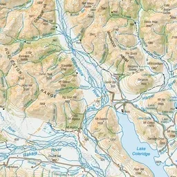
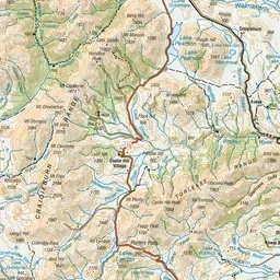
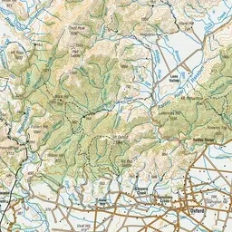

Pink: the track. Green dot: the start. Orange: huts.
About the track
This route travels the eastern and northern flanks of Arthur's Pass National Park. The sections through the upper Minchin Stream and Townsend Creek are more adventurous.
Huts on or near the track
- Minchin Bivvy (933 m)
- Poulter Hut (679 m)
- Casey Hut (599 m, bookable)
- Trust/poulter Hut (639 m)
Minchin Pass Route on DOC's website, for track alerts, bookings and closures.