 Ridgeflow
Mingha - Deception Route
West Coast · New Zealand
Distance23.7 km (14.7 mi)along the line
Climb853 m (2,799 ft)478 m (1,568 ft) down
High point1,080 m (3,543 ft)lowest 299 m (981 ft)
DOC's time2 - 3 daysas DOC publishes it
Walking time7 h 21 minone way, moving, our estimate
GradeExpertDOC
Elevation profile
Map
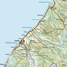
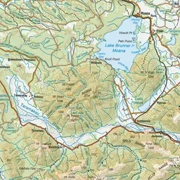
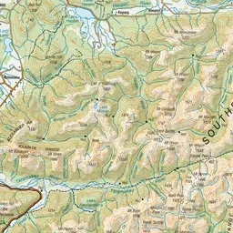
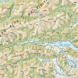
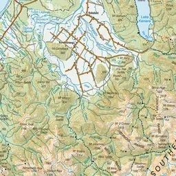
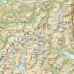
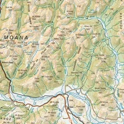
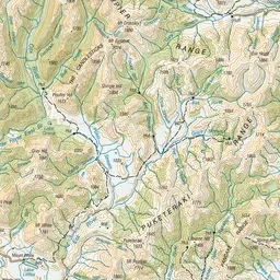
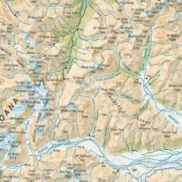
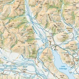
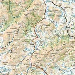
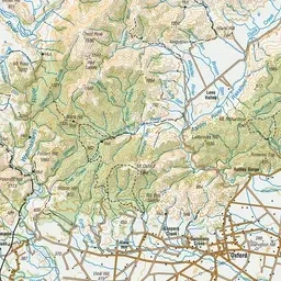
Pink: the track. Green dot: the start. Orange: huts.
About the track
This route is a classic traverse of the Southern Alps, crossing over Goat Pass. This track is part of Te Araroa Trail.
Huts on or near the track
- Goat Pass Hut (1057 m)
- Mingha Bivvy (876 m)
- Upper Deception Hut (739 m)
Mingha - Deception Route on DOC's website, for track alerts, bookings and closures.