 Ridgeflow
Minnehaha Walk
West Coast · New Zealand
Distance0.4 km (0.3 mi)along the line
Climb0 m (0 ft)0 m (0 ft) down
High point173 m (568 ft)lowest 168 m (551 ft)
DOC's time20 minas DOC publishes it
Walking time7 minone way, moving, our estimate
GradeEasiestDOC
Elevation profile
Map
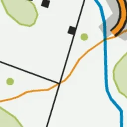
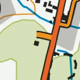
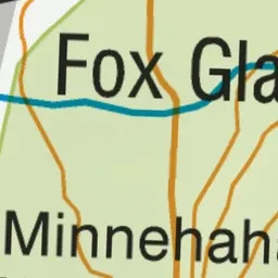
Pink: the track. Green dot: the start.
About the track
This delightful short walk follows a stream through the rainforest - it's a great introduction to the forest for children with the added bonus of glow worms at night. It's suitable for wheelchairs and buggies.
Minnehaha Walk on DOC's website, for track alerts, bookings and closures.