 Ridgeflow
Moeraki Valley Track
West Coast · New Zealand
Distance14 km (8.7 mi)along the line
Climb364 m (1,194 ft)78 m (256 ft) down
High point384 m (1,260 ft)lowest 74 m (243 ft)
DOC's time2+ daysas DOC publishes it
Walking time4 h 6 minone way, moving, our estimate
GradeAdvanced, ExpertDOC
Elevation profile
Map
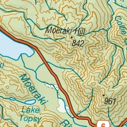
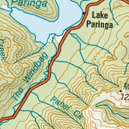
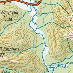
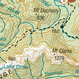
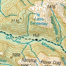
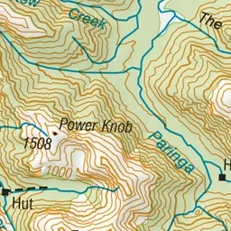
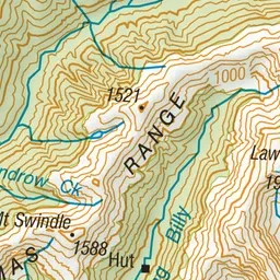
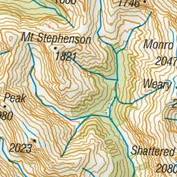
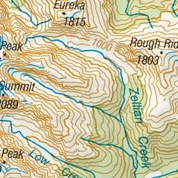
Pink: the track. Green dot: the start. Orange: huts.
About the track
The Moeraki Valley offers good hiking for the fit and experienced. The U-shaped valley is typical of those carved out by glaciers during repeated glacial periods.
Huts on or near the track
- Horseshoe Flat Hut (220 m)
- Middle Head Hut (380 m)
- Blowfly Hut (120 m)
Moeraki Valley Track on DOC's website, for track alerts, bookings and closures.