 Ridgeflow
Moerangi Track
Bay of Plenty · New Zealand
Distance30.5 km (18.9 mi)all 2 sections
Climb1,146 m (3,760 ft)1,345 m (4,413 ft) down
High point930 m (3,051 ft)lowest 385 m (1,263 ft)
DOC's time3 daysas DOC publishes it
GradeIntermediateDOC
This track is mapped in 2 separate sections, so there is no single profile or walking time. Climb is added up section by section.
Map
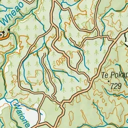
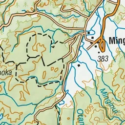
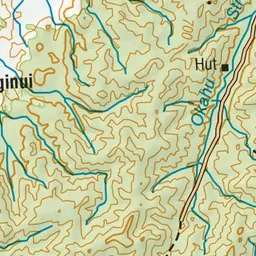
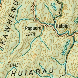
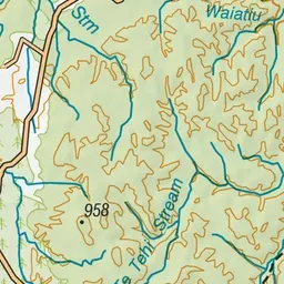
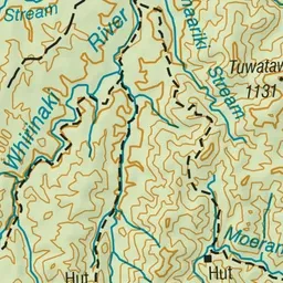
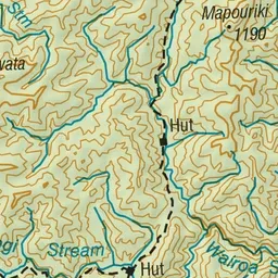
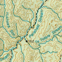
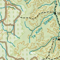
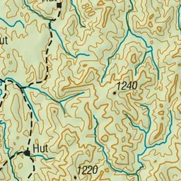
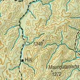
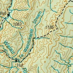
Pink: the track. Orange: huts.
About the track
This shared-use track includes an overnight stop at an historic hut and amazing views from the top of the Moerangi saddle (955 m). Listen for the piercing calls of kiwi at night.
Huts on or near the track
- Moerangi Hut (665 m)
- Rogers Hut (Te Wairoa) (560 m)
- Skips Hut (Whangatawhia) (561 m)
Moerangi Track on DOC's website, for track alerts, bookings and closures.