 Ridgeflow
Mokaihaha Track
Waikato · New Zealand
Distance5.7 km (3.5 mi)all 5 sections
Climb93 m (305 ft)113 m (371 ft) down
High point682 m (2,238 ft)lowest 654 m (2,146 ft)
DOC's time2 hras DOC publishes it
GradeAdvancedDOC
This track is mapped in 5 separate sections, so there is no single profile or walking time. Climb is added up section by section.
Map
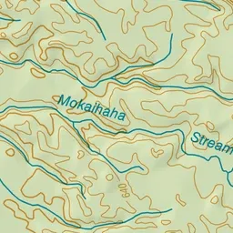
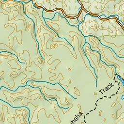
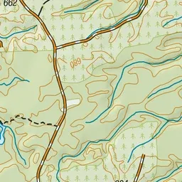
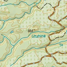
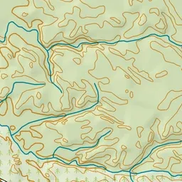
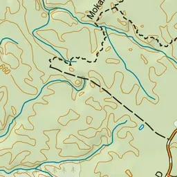
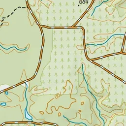
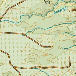
Pink: the track.
About the track
Large podocarps and a chance to hear kaka and other native birdlife while walking along the Mokaihaha Track which takes you past Lake Rotohokahoka.
Mokaihaha Track on DOC's website, for track alerts, bookings and closures.