 Ridgeflow
Moke Lake Loop Track
Otago · New Zealand
Distance4.9 km (3 mi)along the line
Climb288 m (945 ft)289 m (948 ft) down
High point615 m (2,018 ft)lowest 533 m (1,749 ft)
DOC's time2-3 hr loopas DOC publishes it
Walking time1 h 42 minone way, moving, our estimate
GradeEasyDOC
Elevation profile
Map
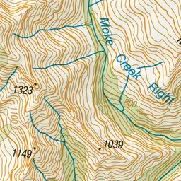
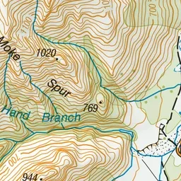
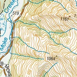
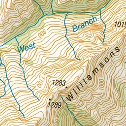
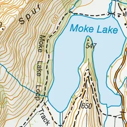
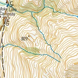
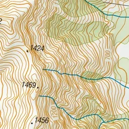
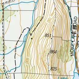
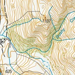
Pink: the track. Green dot: the start. Blue: campsites.
About the track
This popular walk takes you on a loop around the lake. Superb views are on offer as you travel through grassland surrounded by mountains.
Campsites
- Moke Lake Campsite (538 m)
Moke Lake Loop Track on DOC's website, for track alerts, bookings and closures.