 Ridgeflow
Moki Track
Taranaki · New Zealand
Distance18 km (11.2 mi)along the line
Climb442 m (1,450 ft)362 m (1,188 ft) down
High point225 m (738 ft)lowest 145 m (476 ft)
DOC's time8 hras DOC publishes it
Walking time5 h 15 minone way, moving, our estimate
GradeAdvancedDOC
Elevation profile
Map
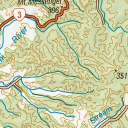
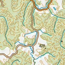
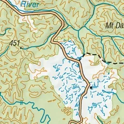
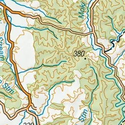
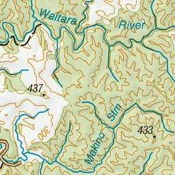
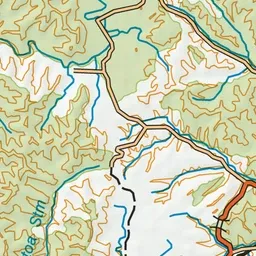
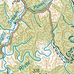
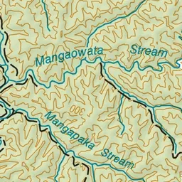
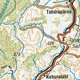
Pink: the track. Green dot: the start.
About the track
The track was developed with wheelbarrows, picks and shovels as early as 1910. Both ends of the track pass through some 3 km of farmland before entering the forest, which contains good stands of tawa, kamahi and rimu.
Moki Track on DOC's website, for track alerts, bookings and closures.