 Ridgeflow
Monument Track
Southland · New Zealand
Distance0.8 km (0.5 mi)along the line
Climb257 m (843 ft)0 m (0 ft) down
High point438 m (1,437 ft)lowest 181 m (594 ft)
DOC's time1.5 - 2 hr returnas DOC publishes it
Walking time38 minone way, moving, our estimate
GradeAdvancedDOC
Elevation profile
Map

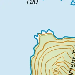
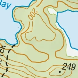
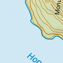
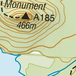
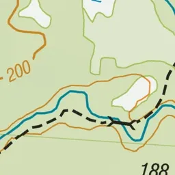
Pink: the track. Green dot: the start.
About the track
This is a short but challenging hiking track from Hope Arm in Lake Manapouri up to the summit of The Monument, with great lake views in good weather.
Monument Track on DOC's website, for track alerts, bookings and closures.