 Ridgeflow
Moonlight Pack Track
West Coast · New Zealand
Distance8.4 km (5.2 mi)along the line
Climb960 m (3,150 ft)127 m (417 ft) down
High point1,014 m (3,327 ft)lowest 173 m (568 ft)
DOC's time2 - 3 hr one wayas DOC publishes it
Walking time3 h 42 minone way, moving, our estimate
GradeEasyDOC
Elevation profile
Map
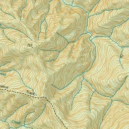
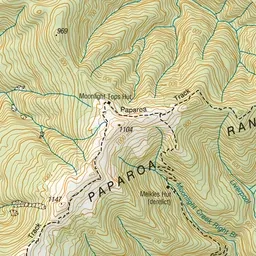
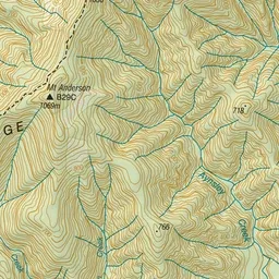
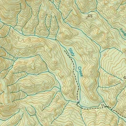
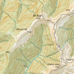
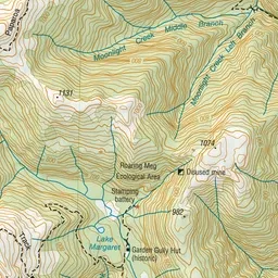
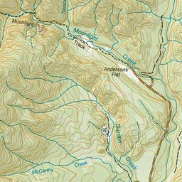
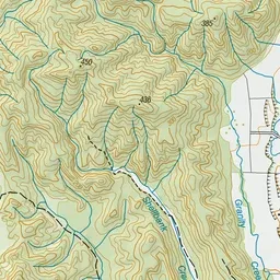
Pink: the track. Green dot: the start.
About the track
The Moonlight Pack Track offers the opportunity to see reminders of the gold mining history of the area, and to walk through West Coast native beech forest.
Moonlight Pack Track on DOC's website, for track alerts, bookings and closures.