 Ridgeflow
Moraine Walk
West Coast · New Zealand
Distance0.6 km (0.4 mi)along the line
Climb24 m (79 ft)0 m (0 ft) down
High point235 m (771 ft)lowest 211 m (692 ft)
DOC's time1 hr 30 minas DOC publishes it
Walking time11 minone way, moving, our estimate
GradeEasiestDOC
Elevation profile
Map
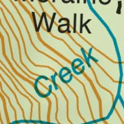
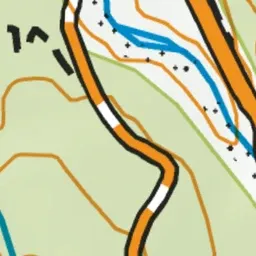
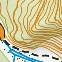
Pink: the track. Green dot: the start.
About the track
Explore old moraine surfaces on this easy, short walk, south of Fox Glacier township.
Moraine Walk on DOC's website, for track alerts, bookings and closures.