 Ridgeflow
Motatapu Track
Otago · New Zealand
Distance32.4 km (20.1 mi)along the line
Climb2,730 m (8,957 ft)2,408 m (7,900 ft) down
High point1,273 m (4,177 ft)lowest 338 m (1,109 ft)
DOC's time3 - 4 daysas DOC publishes it
Walking time12 h 39 minone way, moving, our estimate
GradeAdvancedDOC
Elevation profile
Map
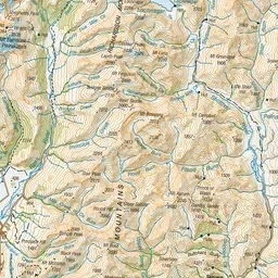
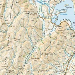
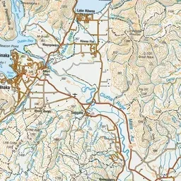
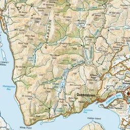
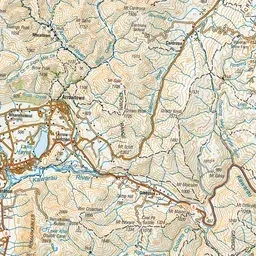
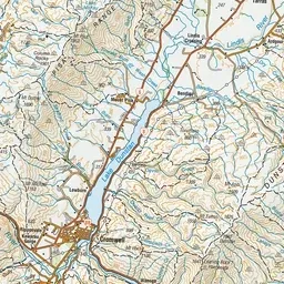
Pink: the track. Green dot: the start. Orange: huts.
About the track
The Motatapu Track follows much of an historic route that linked the Wānaka and Arrowtown areas. It's a demanding alpine hike for experienced parties. This track is part of Te Araroa Trail.
Huts on or near the track
- Fern Burn Hut (738 m)
- Roses Hut (722 m)
- Highland Creek Hut (846 m)
Motatapu Track on DOC's website, for track alerts, bookings and closures.