 Ridgeflow
Motuihe Island tracks
Auckland · New Zealand
Distance9.9 km (6.2 mi)all 20 sections
Climb253 m (830 ft)221 m (725 ft) down
High point65 m (213 ft)lowest 2 m (7 ft)
DOC's time20 min to 3 hrs one wayas DOC publishes it
GradeEasyDOC
This track is mapped in 20 separate sections, so there is no single profile or walking time. Climb is added up section by section.
Map
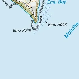
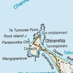
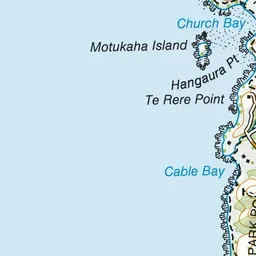

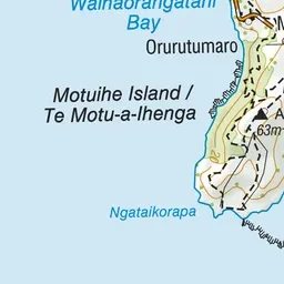
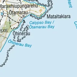
Pink: the track. Blue: campsites.
About the track
Enjoy our rarest birds, ancient native trees and unique limestone formations in this selection of easy walks.
Campsites
- Motuihe Island Campsite (11 m)
Motuihe Island tracks on DOC's website, for track alerts, bookings and closures.