 Ridgeflow
Motukawanui Island Track
Northland · New Zealand
Distance3.8 km (2.4 mi)all 5 sections
Climb217 m (712 ft)231 m (758 ft) down
High point165 m (541 ft)lowest 7 m (23 ft)
DOC's time1 hr 50 minas DOC publishes it
GradeEasyDOC
This track is mapped in 5 separate sections, so there is no single profile or walking time. Climb is added up section by section.
Map
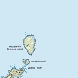
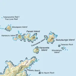

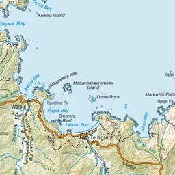
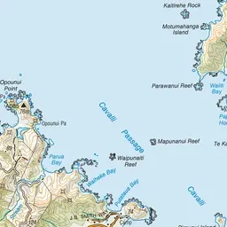
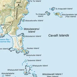

Pink: the track. Orange: huts.
About the track
Enjoy outstanding views of Mahinepua Peninsula, Matauri Bay and other forested islands of the Cavalli group from this walk along the ridge tops.
Huts on or near the track
- Motukawanui Hut (13 m, bookable)
Motukawanui Island Track on DOC's website, for track alerts, bookings and closures.