 Ridgeflow
Moturua Island Track
Northland · New Zealand
Distance4.1 km (2.6 mi)along the line
Climb215 m (705 ft)229 m (751 ft) down
High point82 m (269 ft)lowest 1 m (3 ft)
DOC's time2.5 hras DOC publishes it
Walking time1 h 24 minone way, moving, our estimate
GradeEasyDOC
Elevation profile
Map

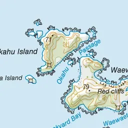
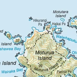
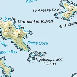
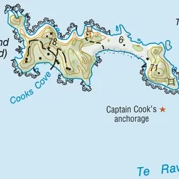
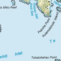
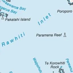
Pink: the track.
About the track
This track goes right around Moturua Island. You can join the track at any of the main beaches and walk through open grassy areas and along cool shady stretches beneath the regenerating coastal forest trees.
Moturua Island Track on DOC's website, for track alerts, bookings and closures.