 Ridgeflow
Motutapu Outdoor Education Camp Access Track
Auckland · New Zealand
Distance4 km (2.5 mi)all 3 sections
Climb113 m (371 ft)100 m (328 ft) down
High point60 m (197 ft)lowest 4 m (13 ft)
DOC's time1 hr 30 minas DOC publishes it
GradeEasyDOC
This track is mapped in 3 separate sections, so there is no single profile or walking time. Climb is added up section by section.
Map

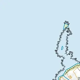
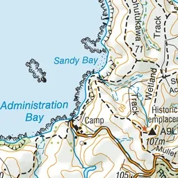
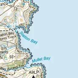
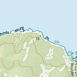
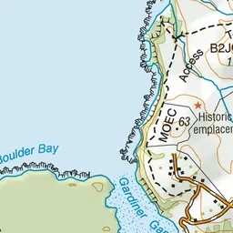
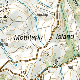
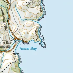
Pink: the track.
About the track
Walk the MOEC Access Track from Administration Bay to Islington Bay.
Motutapu Outdoor Education Camp Access Track on DOC's website, for track alerts, bookings and closures.