 Ridgeflow
Mounds Walk
Manawatū-Whanganui · New Zealand
Distance0.2 km (0.1 mi)along the line
Climb8 m (26 ft)0 m (0 ft) down
High point937 m (3,074 ft)lowest 928 m (3,045 ft)
DOC's time20 minas DOC publishes it
Walking time3 minone way, moving, our estimate
GradeEasiestDOC
Elevation profile
Map
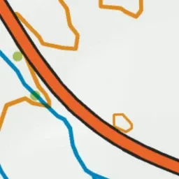


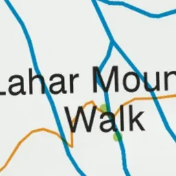
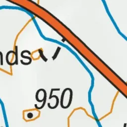

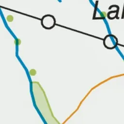
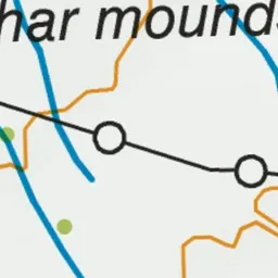
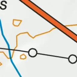
Pink: the track. Green dot: the start.
About the track
This short walk offers good views of the Tongariro National Park volcanoes and surrounding area.
Mounds Walk on DOC's website, for track alerts, bookings and closures.