 Ridgeflow
Mount Augarde Track
Marlborough · New Zealand
Distance1.6 km (1 mi)along the line
Climb268 m (879 ft)15 m (49 ft) down
High point1,230 m (4,035 ft)lowest 977 m (3,205 ft)
DOC's time2 hras DOC publishes it
Walking time50 minone way, moving, our estimate
GradeIntermediateDOC
Elevation profile
Map
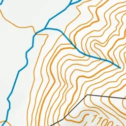
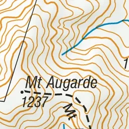
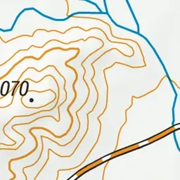
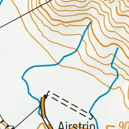
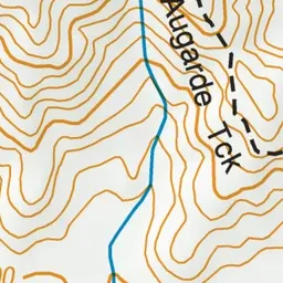
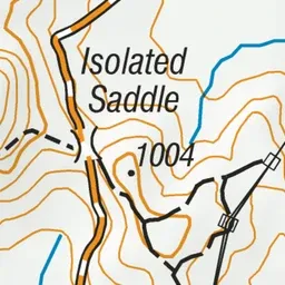
Pink: the track. Green dot: the start.
About the track
Climb to the summit of Mount Augarde for views north across Isolated Flat and the distant tops of the Severn, Saxton and Acheron Ranges.
Mount Augarde Track on DOC's website, for track alerts, bookings and closures.