 Ridgeflow
Mount Damper to Te Rerepahupahu Falls track
Manawatū-Whanganui · New Zealand
Distance12 km (7.5 mi)along the line
Climb641 m (2,103 ft)668 m (2,192 ft) down
High point524 m (1,719 ft)lowest 283 m (928 ft)
DOC's time7 hr 30 min - 9 hras DOC publishes it
Walking time4 h 4 minone way, moving, our estimate
GradeAdvancedDOC
Elevation profile
Map
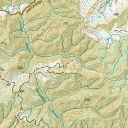
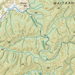
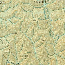
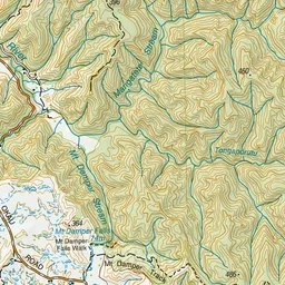
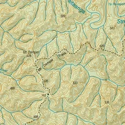
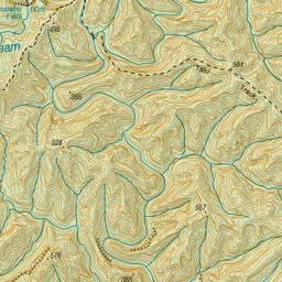
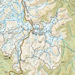
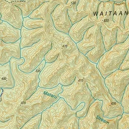
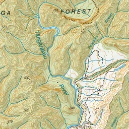
Pink: the track. Green dot: the start.
About the track
This track to Te Rerepahupahu Falls is recommended for fit and experienced hikers only.
Mount Damper to Te Rerepahupahu Falls track on DOC's website, for track alerts, bookings and closures.