 Ridgeflow
Mount Fox Route
West Coast · New Zealand
Distance3.4 km (2.1 mi)along the line
Climb1,166 m (3,825 ft)12 m (39 ft) down
High point1,330 m (4,364 ft)lowest 164 m (538 ft)
DOC's time8 hras DOC publishes it
Walking time2 h 48 minone way, moving, our estimate
GradeExpertDOC
Elevation profile
Map
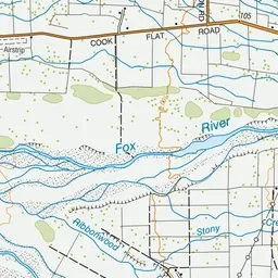
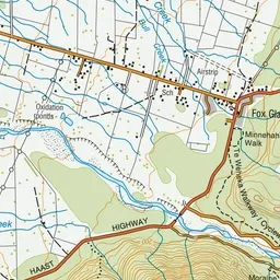
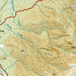
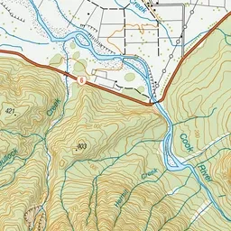
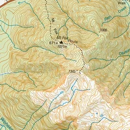
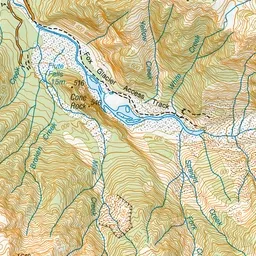
Pink: the track. Green dot: the start.
About the track
Mount Fox Route is just 3 km south of the town of Fox Glacier. The challenging climb to the top is only suitable for experienced and properly equipped hikers.
Mount Fox Route on DOC's website, for track alerts, bookings and closures.