 Ridgeflow
Mount Hutt Forest walking tracks
Canterbury · New Zealand
Distance3.6 km (2.2 mi)all 2 sections
Climb179 m (587 ft)264 m (866 ft) down
High point783 m (2,569 ft)lowest 519 m (1,703 ft)
DOC's time30 min | 45 min one wayas DOC publishes it
GradeEasyDOC
This track is mapped in 2 separate sections, so there is no single profile or walking time. Climb is added up section by section.
Map
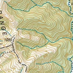
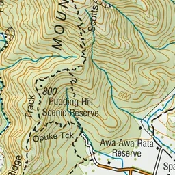
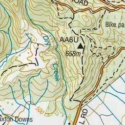
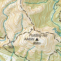
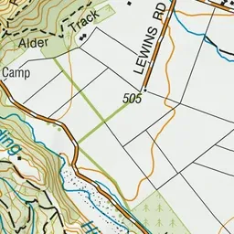
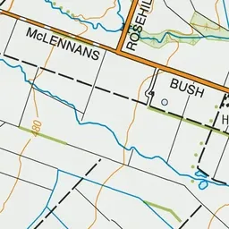
Pink: the track.
About the track
Mount Hutt Forest offers three short walking tracks.
Mount Hutt Forest walking tracks on DOC's website, for track alerts, bookings and closures.