 Ridgeflow
Mount Ida Water Race Track
Otago · New Zealand
Distance18.3 km (11.4 mi)along the line
Climb125 m (410 ft)206 m (676 ft) down
High point776 m (2,546 ft)lowest 682 m (2,238 ft)
DOC's time4-5 hras DOC publishes it
Walking time4 h 48 minone way, moving, our estimate
GradeEasyDOC
Elevation profile
Map
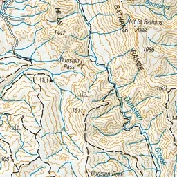
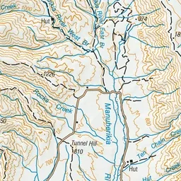
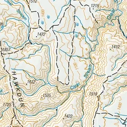
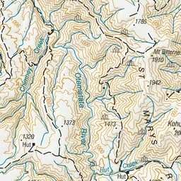
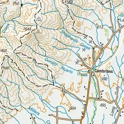
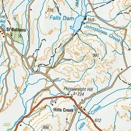
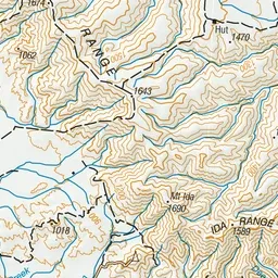
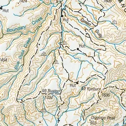
Pink: the track. Green dot: the start.
About the track
This track follows a water race which is still in use. It has great views of the St Bathans basin and Falls Dam valley. The track is overgrown with sections of long grass and washouts.
Mount Ida Water Race Track on DOC's website, for track alerts, bookings and closures.