 Ridgeflow
Mount Pleasant Track
Canterbury · New Zealand
Distance1.8 km (1.1 mi)along the line
Climb0 m (0 ft)227 m (745 ft) down
High point424 m (1,391 ft)lowest 197 m (646 ft)
DOC's time35 minutesas DOC publishes it
Walking time29 minone way, moving, our estimate
GradeEasiestDOC
Elevation profile
Map
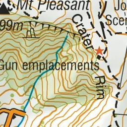
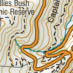
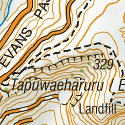
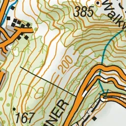
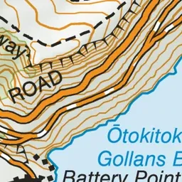
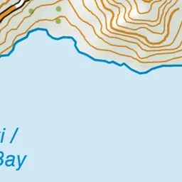
Pink: the track.
About the track
Enjoy panoramic views along the tops of the Mount Pleasant bluffs on this great summer walk, which includes historic gun emplacements.
Mount Pleasant Track on DOC's website, for track alerts, bookings and closures.