 Ridgeflow
Mount Robert Circuit
Tasman · New Zealand
Distance7.5 km (4.7 mi)along the line
Climb621 m (2,037 ft)653 m (2,142 ft) down
High point1,426 m (4,678 ft)lowest 832 m (2,730 ft)
DOC's time5 hr returnas DOC publishes it
Walking time2 h 55 minone way, moving, our estimate
GradeAdvancedDOC
Elevation profile
Map
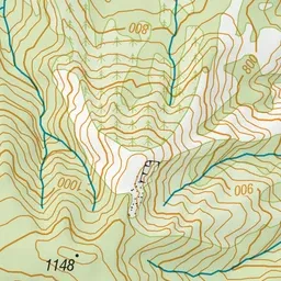
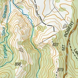
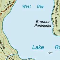
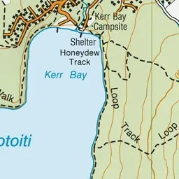
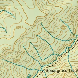
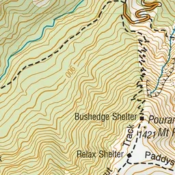
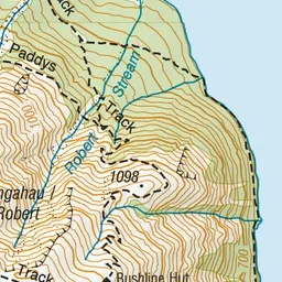
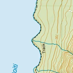
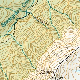
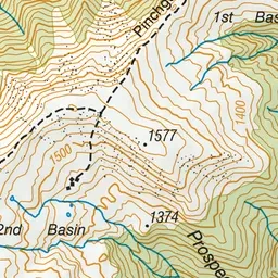
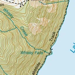
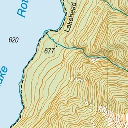
Pink: the track. Green dot: the start. Orange: huts.
About the track
This loop track around the northern face of Pourangahau/Mount Robert offers spectacular views over Lake Rotoiti that will keep even kids entertained. It can be enjoyed as a day or overnight walk.
Huts on or near the track
- Bushline Hut (1300 m, bookable)
Mount Robert Circuit on DOC's website, for track alerts, bookings and closures.