 Ridgeflow
Mount Robertson tracks
Marlborough · New Zealand
Distance10.2 km (6.3 mi)all 2 sections
Climb814 m (2,671 ft)591 m (1,939 ft) down
High point1,023 m (3,356 ft)lowest 146 m (479 ft)
DOC's time8-12 hrs returnas DOC publishes it
GradeAdvancedDOC
This track is mapped in 2 separate sections, so there is no single profile or walking time. Climb is added up section by section.
Map
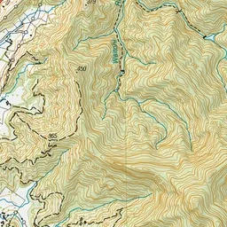
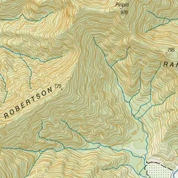
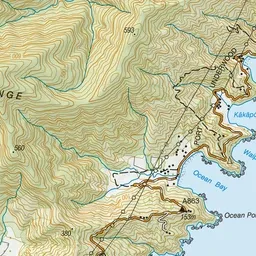
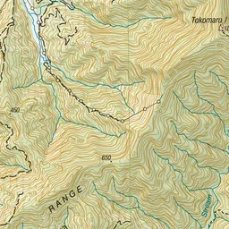
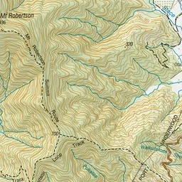
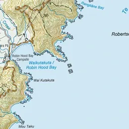
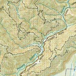
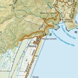
Pink: the track.
About the track
Mountain bike or walk through mature and regenerating forest, with the option to visit the Mt Robertson/Tokomaru summit.
Mount Robertson tracks on DOC's website, for track alerts, bookings and closures.