 Ridgeflow
Mount Shrimpton Track
Otago · New Zealand
Distance3.1 km (1.9 mi)along the line
Climb802 m (2,631 ft)0 m (0 ft) down
High point1,152 m (3,780 ft)lowest 350 m (1,148 ft)
DOC's time5 hr return to bush edgeas DOC publishes it
Walking time2 h 7 minone way, moving, our estimate
GradeAdvancedDOC
Elevation profile
Map
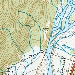
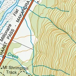
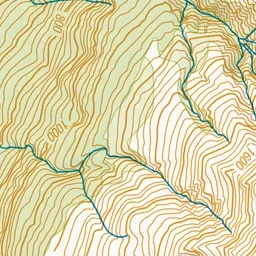
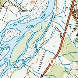
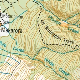
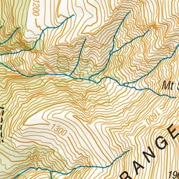
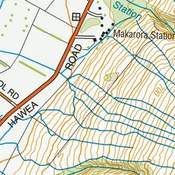
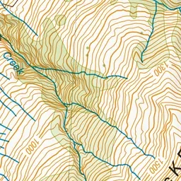
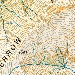
Pink: the track. Green dot: the start.
About the track
A good, steep bush walk to the uplands of the McKerrow Range. Great views of the Makarora Valley below and the alps beyond.
Mount Shrimpton Track on DOC's website, for track alerts, bookings and closures.