 Ridgeflow
Mt Difficulty tracks
Otago · New Zealand
Distance40.8 km (25.4 mi)all 5 sections
Climb2,420 m (7,940 ft)2,084 m (6,837 ft) down
High point1,267 m (4,157 ft)lowest 237 m (778 ft)
DOC's time1 dayas DOC publishes it
GradeAdvancedDOC
This track is mapped in 5 separate sections, so there is no single profile or walking time. Climb is added up section by section.
Map
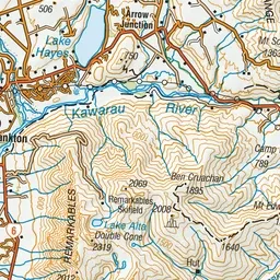
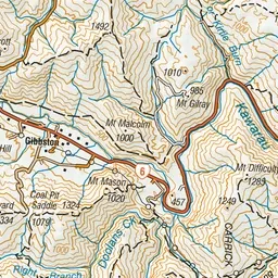
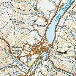
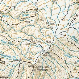
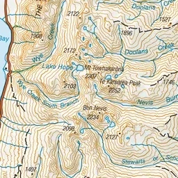
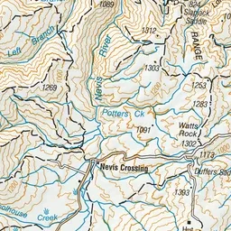
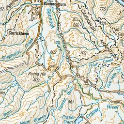
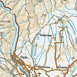
Pink: the track.
About the track
Enjoy fantastic views of Gibbston Valley and Cromwell basin along the way, and out to the Doolan mountains from the top.
Mt Difficulty tracks on DOC's website, for track alerts, bookings and closures.