 Ridgeflow
Mt Grey/Maukatere Track
Canterbury · New Zealand
Distance6.1 km (3.8 mi)along the line
Climb686 m (2,251 ft)58 m (190 ft) down
High point916 m (3,005 ft)lowest 261 m (856 ft)
DOC's time2-3 hr one wayas DOC publishes it
Walking time2 h 41 minone way, moving, our estimate
GradeEasyDOC
Elevation profile
Map
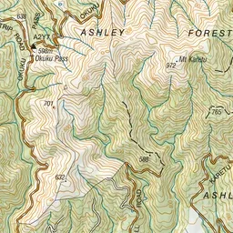
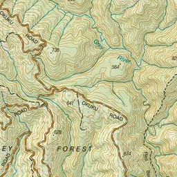
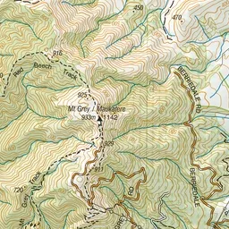
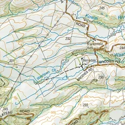
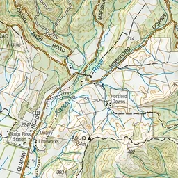
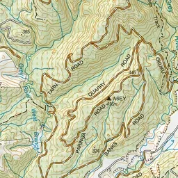
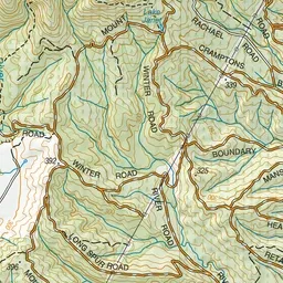
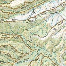
Pink: the track. Green dot: the start.
About the track
Combine this track with the Red Beech Track to form a circuit walk. Enjoy some of the best views in Canterbury from the summit of Mt Grey/Maukatere.
Mt Grey/Maukatere Track on DOC's website, for track alerts, bookings and closures.