 Ridgeflow
Mt McIntosh Loop Track
Otago · New Zealand
Distance12.4 km (7.7 mi)all 3 sections
Climb767 m (2,516 ft)1,398 m (4,587 ft) down
High point1,466 m (4,810 ft)lowest 354 m (1,161 ft)
DOC's time8-10 hr returnas DOC publishes it
GradeAdvancedDOC
This track is mapped in 3 separate sections, so there is no single profile or walking time. Climb is added up section by section.
Map
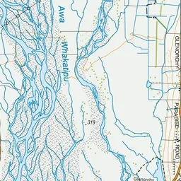
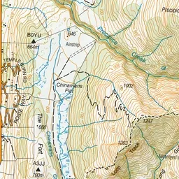
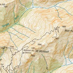
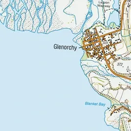
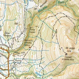
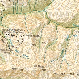
Pink: the track. Orange: huts.
About the track
A steep overnight hike with magnificent views through open tussock land.
Huts on or near the track
- Mcintosh Hut (1465 m)
- Mcintyre Hut (970 m)
Mt McIntosh Loop Track on DOC's website, for track alerts, bookings and closures.