 Ridgeflow
Mt Ngongotaha Nature Loop Track
Bay of Plenty · New Zealand
Distance3.2 km (2 mi)along the line
Climb205 m (673 ft)140 m (459 ft) down
High point556 m (1,824 ft)lowest 390 m (1,280 ft)
DOC's time1 hras DOC publishes it
Walking time1 h 8 minone way, moving, our estimate
GradeEasiestDOC
Elevation profile
Map
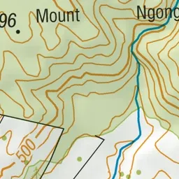
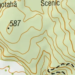
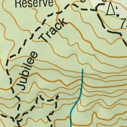
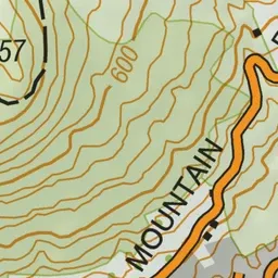
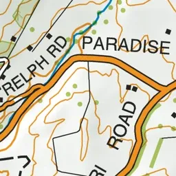
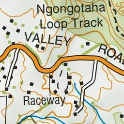
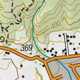
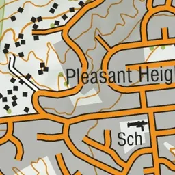
Pink: the track.
About the track
This short walk is close to Rotorua and showcases the beautiful flora and fauna of Mt Ngongotaha. It is ideal for families or school groups.
Mt Ngongotaha Nature Loop Track on DOC's website, for track alerts, bookings and closures.