 Ridgeflow
Mt Potts Easement Track to Mt Potts Conservation Area boundary
Canterbury · New Zealand
Distance1.5 km (0.9 mi)along the line
Climb219 m (719 ft)0 m (0 ft) down
High point802 m (2,631 ft)lowest 583 m (1,913 ft)
DOC's time30 min one wayas DOC publishes it
Walking time45 minone way, moving, our estimate
GradeAdvancedDOC
Elevation profile
Map
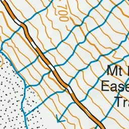
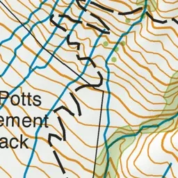

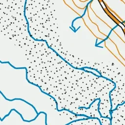
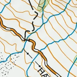
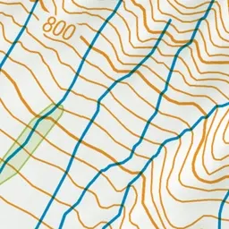
Pink: the track. Green dot: the start.
About the track
This short track provides access across private land to the edge of Mt Potts Conservation Area. There is no DOC track or other facilities within Mt Potts Conservation Area.
Mt Potts Easement Track to Mt Potts Conservation Area boundary on DOC's website, for track alerts, bookings and closures.